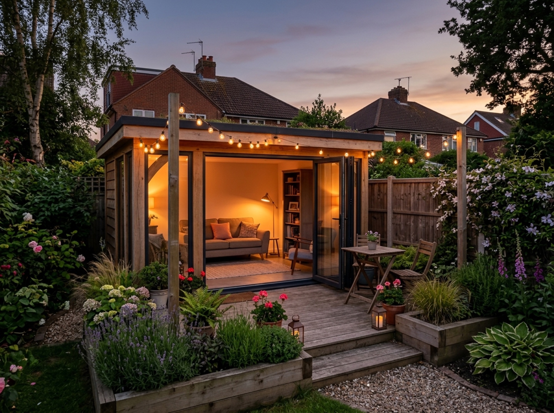

A ridge-top village on the park boundary
Shirrell Heath grew up around small farms that once sent strawberries and cherries to London by rail, and today it sits partly within the South Downs National Park, a different planning picture to most of the villages nearer Hedge End.
Two planning authorities depending on the plot
For land inside the National Park boundary, it's the South Downs National Park Authority that decides planning applications, while the rest of the village continues to sit with Winchester City Council through Shedfield parish — worth checking which applies to your specific address.
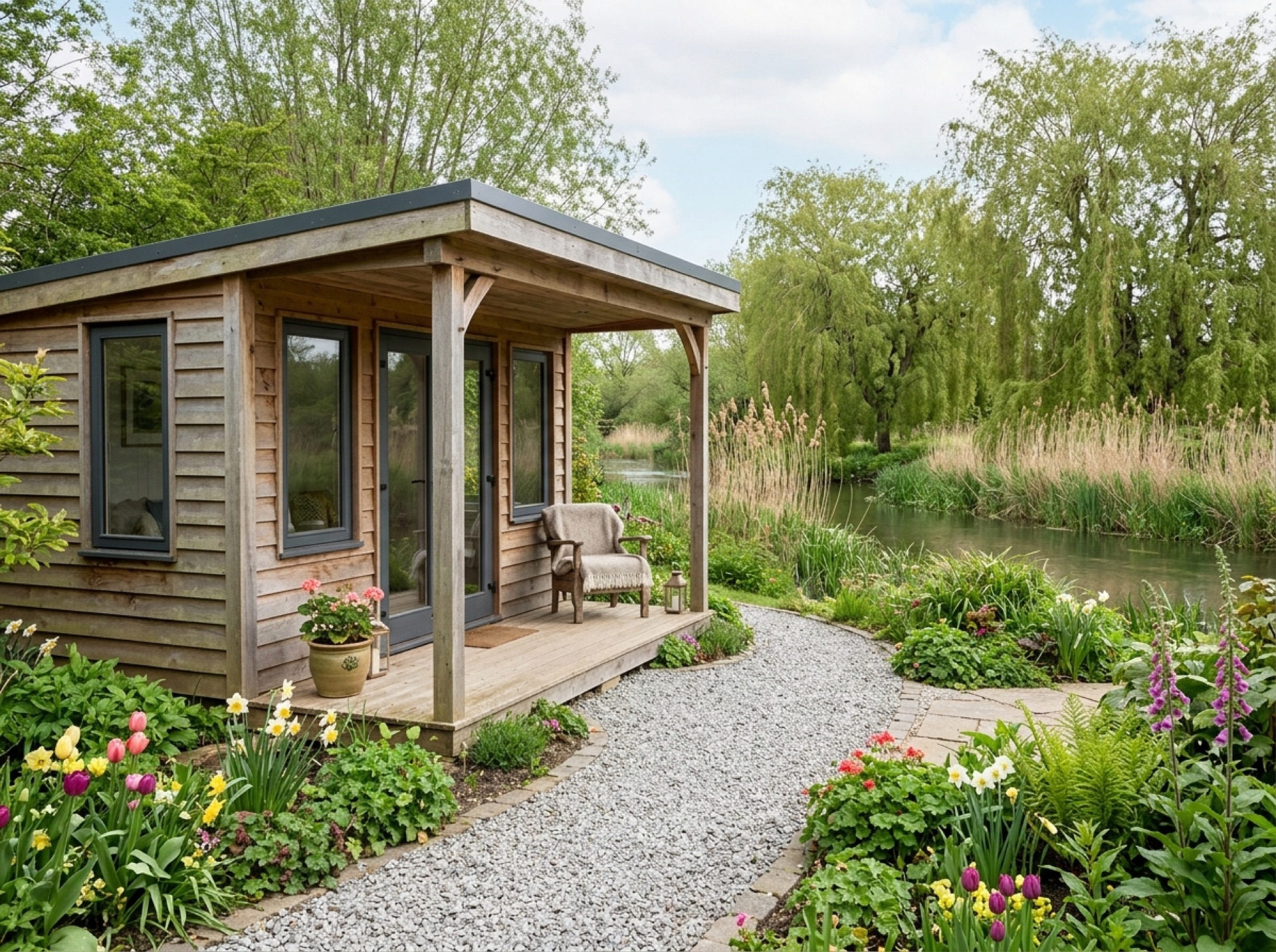
A short drive north of Wickham
Shirrell Heath sits about a mile and a half north of Wickham, close enough that the two villages share much of the same rural, wooded character around the upper Meon valley.
Frequently asked questions
Does the South Downs National Park boundary run through Shirrell Heath?+
Part of the village is, which means some applications here go to the South Downs National Park Authority rather than Winchester City Council — it's worth checking which applies to your address.
Which parish does Shirrell Heath belong to?+
Shedfield civil parish, the same as neighbouring Waltham Chase.
Nearby areas
Services
Useful local links
- Winchester City Council – Do I Need Planning Permission — The planning authority covering Bishop's Waltham, Curbridge, Curdridge and Durley.
- Fareham Borough Council – Planning — The planning authority covering Swanwick, Lower Swanwick, Sarisbury Green and Burridge.
- Southampton City Council – Planning — The unitary planning authority covering the city of Southampton.
- Planning Portal – Outbuildings — National guidance on permitted development rules for garden buildings and outbuildings.